Zoning codes are complicated. And if applicants can’t understand what your city’s ordinance has to say about the project they want to bring to life, they have no choice but to flood City Hall with their questions.
Transform this arduous process of finding the right zoning information into an easy-to-understand journey of discovery that takes applicants minutes — not weeks. And with fewer pre-application questions to field, your team is free to take on the critical projects shaping your city’s future.
Save staff from a sea of repetitive, early-stage questions.
When constituents can’t make heads or tails of your city’s zoning codes, they turn to staff for answers, costing Planning experts tens of thousands of hours every year repeatedly answering the same batch of inquiries. Empower anyone to find the zoning information they need on their own — so that when it’s time to head to City Hall, they’re ready to have an informed discussion with you.

Put your team's expertise to use on critical city projects.
Digitizing zoning and permit discovery is more than just a line item in a budget, it’s a civic investment — one that helps Planning focus on the macro rather than the micro. Because when your team doesn’t have to chip away at the inquiry backlog or spend time reviewing incomplete or rejected forms, they can focus on the important initiatives that require the knowledge and expertise only Planning professionals can provide.

Get more out of your GIS system.
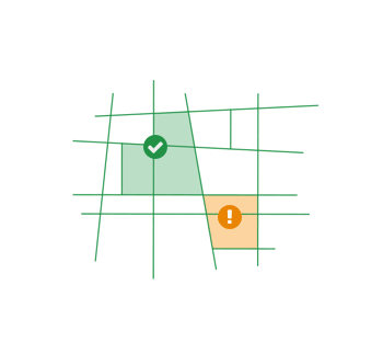
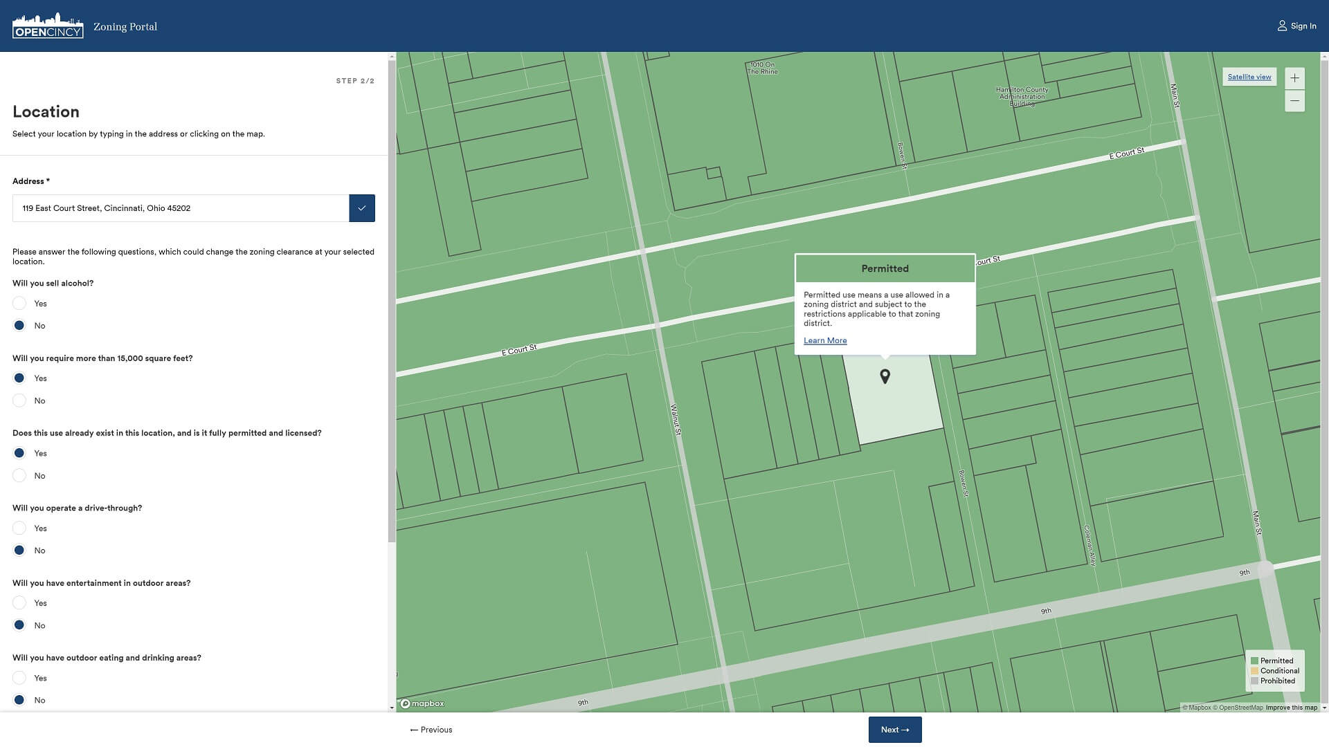
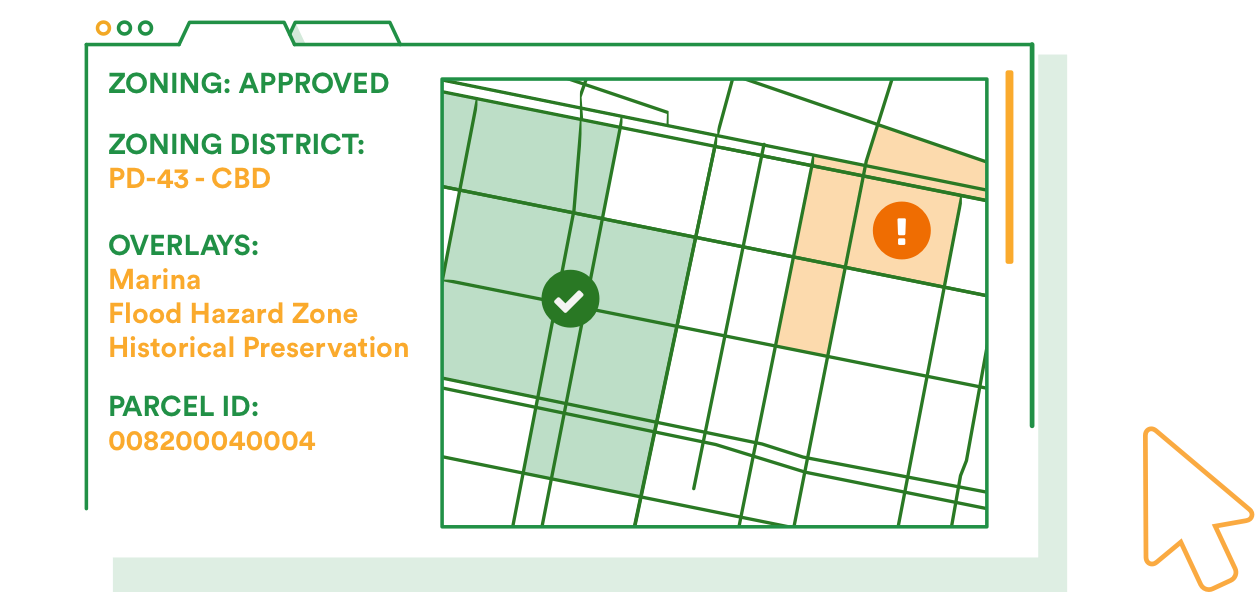
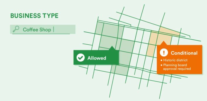
Whether paper or digital, today’s zoning tools assume applicants understand land use, development codes, overlay districts, and more — complex municipal knowledge that the entrepreneurs don’t have. OpenCounter complements your current GIS system by using natural language and interactive zoning maps that make it easy for anyone to quickly understand where their project is allowed.
Our solutions in action
OpenCounter’s solutions will essentially address 80 percent of the questions we get on a daily basis. Their team has worked hard to interpret our fee schedules, codes, and ordinances — and make sure it’s easy for applicants to understand that information, too.

James Foster
Manager, Buildings Safety Engineering and Environmental Department, City of Detroit


Explore our products
OpenCounter
Business Portal
Help entrepreneurs to understand the costs and requirements of starting a business.
Learn more

OpenCounter
Residential Portal
Show homeowners how to stay in compliance on home improvement projects.
Learn more

OpenCounter
ZoningCheck™
Help applicants to understand how the zoning ordinance will impact site selection and project requirements.
Learn more